
Norwalk Block Lookup Sources
A Norwalk neighbors search needs a block definition before it needs a name. Use parcel geometry to decide which lots are adjacent, then treat each owner, deed, voter, and community result as a separate source row. The owner of a parcel is not automatically the person who lives there, and a directory or map label is not a current residence record.
| Source | What It Shows About a Block | Access |
|---|---|---|
| WestCOG MapGeo | Adjacent parcel geometry and map layers | Public viewer, convenience use |
| Official abutter output | Site address, owner, owner address, and map reference | City GIS document, not legal |
| Assessor and DataScout | Parcel/PID, tax owner, mailing and situs fields | Portal, public terminal, office |
| Town Clerk land records | Recorded parties, instruments, book and page | Index, counter, copy request |
| Voter and Registrar | Time-specific status and residence fields allowed by rule | Limited public lookup, request rules |
| Neighborhood map and History Room | Named civic areas, dated directories, maps, and local context | Planning page, library, archive |
MapGeo is useful for the visual relationship, but Norwalk warns that GIS output is for convenience and does not replace a survey or recorded boundary. The Assessor supplies a tax ownership and assessment bridge. The Town Clerk supplies legal instruments. Voter information is time-specific and protected by its own rules. These sources can support a careful picture of nearby parcels, not a complete roster of every person on the block.
Keep the subject parcel first, list only direct adjacent parcel IDs, and record the layer date used to decide adjacency. A historic deed party, current assessment owner, directory entry, and map label should remain separate rows until a custodian supplies the link.
Norwalk Neighbors by Parcel Geometry
Start with one exact address and keep the original spelling beside a normalized form. Separate street number, direction, street name, type, unit, ZIP, and ZIP+4. MapGeo can then show the subject parcel and direct adjacent parcels. Record the layer, date, and any convenience warning before reading an owner field.
The Norwalk MapGeo viewer is the source assigned to the parcel relationship shown here.
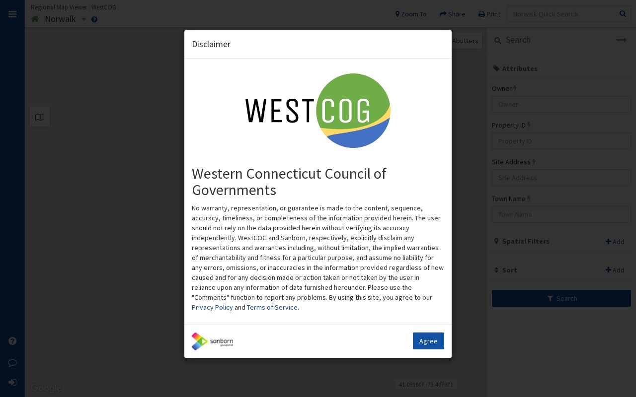
MapGeo helps define nearby by geometry, not by a broad name list. Click each direct adjacent parcel, save its parcel identifier, and then run the Assessor or Town Clerk check separately.
Norwalk Parcel-by-Parcel Neighbors
The adjacent-parcel process keeps a visual map from being mistaken for a title search. Begin with the subject address, identify direct geometry, and carry each parcel ID into the records that can confirm a role or date.
- Enter the exact address in My Norwalk or MapGeo, preserving the original street form and search date.
- Mark the subject parcel and direct adjacent parcels, including the map layer and date used to decide adjacency.
- Query each parcel in the Assessor or DataScout system for PID, owner, mailing address, situs, and assessment fields.
- Use the Town Clerk index for a deed, lien, map, or book-and-page check, keeping owner role and record date separate.
- If the question expands to the whole street, use the street-level records chain rather than treating the block result as complete.
For that broader address chain, the Norwalk street directory is the natural next source. A parcel can have an owner without a directory entry, and a historical directory entry can exist without a current parcel match.
Norwalk Abutter Map Example
Norwalk's official abutter sample shows why a map output needs a date and a warning. The PDF was generated June 14, 2022 for 1 CANFIELD XING. It displays the site address, owner, owner address, and map reference. It is a GIS output marked map-reference-only and not legal, not a title report.
Use an abutter result to identify the direct parcels to check, then open the Assessor card for each parcel and the Town Clerk index for any instrument. Do not publish more mailing detail than the question needs, and do not treat the sample's owner field as proof of who lived at the site on that date.
Norwalk Neighborhood Association Map
Norwalk's neighborhood map records boundaries established in May 2013 and marks parcels outside an established association. The labels are useful civic geography, but they are not a substitute for parcel geometry or a current household roster. The planning collection supplies the public access route for the named areas.
The Norwalk planning documents page provides the source context for the neighborhood map.
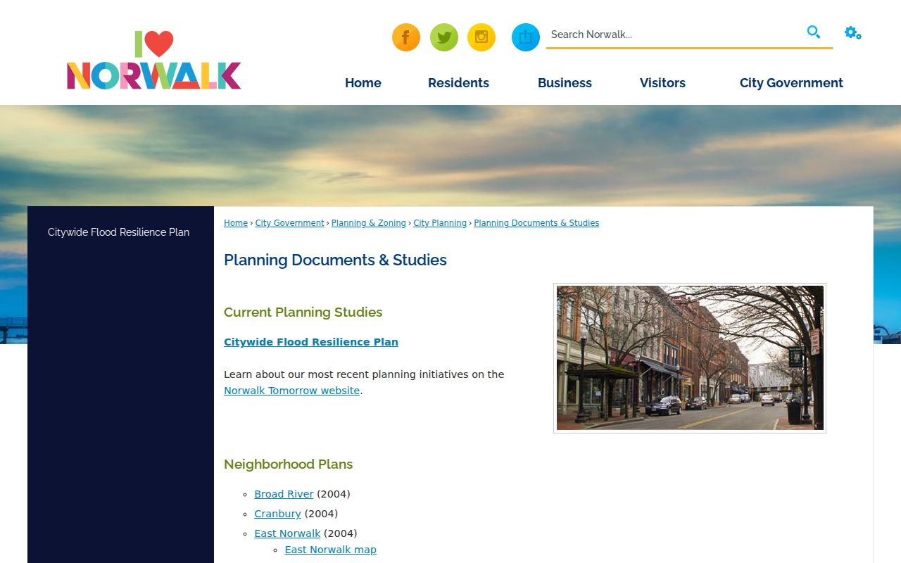
These are the named areas and the source route recorded in the research:
| Named area on Norwalk map | Access and use |
|---|---|
| Silvermine | Official neighborhood map and planning documents, boundary context only |
| Broad River | Official neighborhood map and planning documents, boundary context only |
| East Norwalk | Official neighborhood map and planning documents, boundary context only |
| Farm Creek | Official neighborhood map and planning documents, boundary context only |
| Flax Hill | Official neighborhood map and planning documents, boundary context only |
| Cranbury Park | Official neighborhood map and planning documents, boundary context only |
| Ryan Park | Official neighborhood map and planning documents, boundary context only |
| Golden Hill | Official neighborhood map and planning documents, boundary context only |
| Harbor Shores and Harborview | Official neighborhood map and planning documents, boundary context only |
| Lexington Avenue and Marvin Beach | Official neighborhood map and planning documents, boundary context only |
| Shorefront Park and South Main | Official neighborhood map and planning documents, boundary context only |
| Spring Hill/Hospital Area | Official neighborhood map and planning documents, boundary context only |
| Parcels outside associations | Map category, not evidence of a missing or informal roster |
The research captured the named-area map and planning route, not individual association contact cards or member rosters. Use the official planning source for boundary context, then ask the relevant civic custodian for any current contact path.
Norwalk Voter Privacy at Block Scale
Voter data can add a time-specific status clue, but it cannot supply a complete list of people on a block. Norwalk describes its public lookup by name, address, current residence, active status, and party choice or unaffiliated status. Connecticut's current public rule releases only the year of birth. The unattended state lookup returned a Request Rejected response, so exact controls and a no-match message were not verified.
A statewide voter-file request has a $300 fee and a use certification, with election-related, scholarly, journalistic, political, or governmental purposes allowed by the form. Private or commercial list-building is outside that route. A privacy application under CGS §9-50(d) and the Address Confidentiality Program can protect voter street and house information. Do not infer a protected address from a parcel, ZIP, utility record, or absent result.
Norwalk Neighbors Versus ZIP Codes
Two addresses can share a ZIP without touching, and two adjacent parcels can carry different postal labels. USPS controls delivery geography, Census controls a selected ZCTA, and MapGeo or the Assessor supplies the parcel relationship. A ZIP therefore cannot define a block, establish a neighborhood association, or show who lives next door.
When a ZIP is the only clue, use it to narrow the postal context, then ask for a full address or parcel confirmation. Preserve the ZIP, ZIP+4, city label, historic locality, parcel ID, and map date as separate fields. A shared label is not an adjacency result.
Norwalk Walking Maps for Neighbors
The official Norwalk street map supplies an indexed grid, while NorWALKer maps orient a reader to areas such as Cranbury Park, Downtown, Silvermine, South Norwalk, Strawberry Hill, Tracey School, West Norwalk, and Wolfpit. These sources help decode a street or locality term found in a directory. They do not show legal parcel edges or prove that a person lives along a route.
The NorWALKer collection supplies the local walking-map context used for this page.
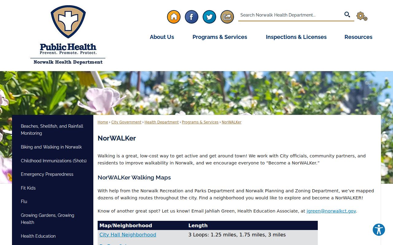
Use the walking label as orientation only. For a record question, return to the exact address, parcel, Town Clerk instrument, or dated library item.
Norwalk Map and Record Disagreements
GIS layers, assessor cards, abutter outputs, and recorded instruments can carry different dates and purposes. If a map says a parcel is adjacent but a deed or survey suggests another line, preserve both results with their source dates. The GIS convenience warning means the visual layer should not decide a legal boundary question.
Norwalk GIS describes annual layer updates and aerial imagery on a five-to-seven-year cycle. A request can ask for a PDF, CAD or Shapefile extract, a parcel or buffer layer, or a selected aerial year. Escalate the mismatch to the Assessor for the tax parcel, the Town Clerk for the recorded instrument or map, or a qualified survey source for a legal boundary. Do not smooth away the disagreement in a neighbor note.
Norwalk Neighbor Lookup Privacy
A parcel result may show a tax owner or mailing field, but it does not publish every person who lives at the address. Household members, protected voters, utility accounts, delivery records, sealed court matters, and Address Confidentiality Program locations are not open neighborhood data. A suppressed result should remain marked protected or unavailable rather than being reconstructed from another map or list.
Official sources and commercial neighbor tools also differ in what they can prove. A commercial result may combine public and licensed data, but it does not replace the custodian, date, or legal status of a Norwalk record. The comparison belongs in the notes for any block lookup.
| Source category | Useful for | Limit |
|---|---|---|
| Official parcel or GIS source | Adjacency, PID, map layer, dated geometry | Convenience map is not a survey or title proof |
| Town Clerk or Assessor record | Recorded instrument, tax owner, situs, book and page | Owner role does not prove current occupancy |
| Voter or community source | Time-specific civic status or named-area context | Privacy rules and incomplete rosters apply |
| Commercial neighbor tool | Possible lead for a broad search | Source date, role, accuracy, and lawful use require independent checking |
Privacy and lawful use. Norwalk neighbor lookups are for getting to know a block, reconnecting, civic curiosity, and personal safety awareness. Keep the smallest useful record, do not publish protected address details, and never use a neighbor trail to watch, harass, threaten, or intimidate anyone.